CITY DIRECTORY
Business research in Seattle, WA.
Explore 103 mapped neighborhoods, choose a business concept, and narrow your research to a local area.
Explore business ideas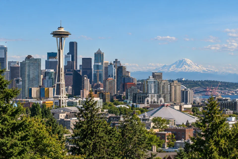
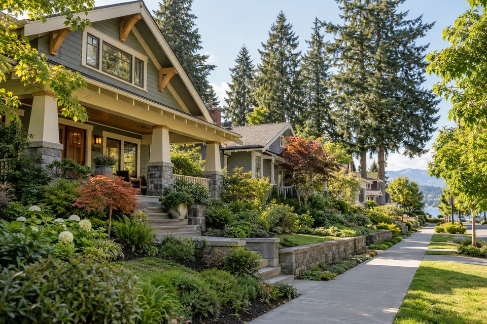
City and neighborhood imagery is AI-generated for illustration, not photography of a specific location or property.
Neighborhood research guides
Mapped neighborhoods in Seattle
These links open a coffee shop search as a starting point. Change the business idea in the explorer to investigate a different concept. Available research varies by location and business.
- Admiral
- Alki
- Arbor Heights
- Atlantic
- Ballard
- Beacon Hill
- Belltown
- Bitter Lake
- Blue Ridge
- Brighton
- Broadmoor
- Broadview
- Bryant
- Capitol Hill
- Cedar Park
- Central
- Columbia City
- Crown Hill
- Denny - Blaine
- Denny Triangle
- Downtown
- Dunlap
- East Queen Anne
- Eastlake
- Fairmount Park
- Fauntleroy
- First Hill
- Fremont
- Garfield
- Gatewood
- Genesee
- Georgetown
- Green Lake
- Greenwood
- Haller Lake
- Harbor Island
- Hawthorne Hills
- High Point
- Highland Park
- Hillman City
- Holly Park
- Industrial District
- Interbay
- International District
- Jackson Place
- Judkins Park
- Junction
- Lakewood
- Laurelhurst
- Leschi
- Little Saigon
- Lower Queen Anne
- Loyal Heights
- Madison Park
- Madison Valley
- Madrona
- Magnolia
- Maple Leaf
- Matthews Beach
- Meadowbrook
- Minor
- Montlake
- Mt. Baker
- North Beach
- North Beacon Hill
- North College Park
- North Delridge
- North Queen Anne
- Northgate
- Olympic Hills
- Olympic Manor
- Phinney Ridge
- Pinehurst
- Pioneer Square
- Portage Bay
- Rainier Beach
- Rainier View
- Ravenna
- Riverview
- Roosevelt
- Roxhill
- Sand Point
- Seaview
- Seward Park
- South Beacon Hill
- South Delridge
- South Lake Union
- South Park
- Sunset Hill
- University District
- Uptown
- Victory Heights
- View Ridge
- Wallingford
- Waterfront
- Wedgwood
- West Queen Anne
- West Woodland
- Westlake
- Whittier Heights
- Windermere
- Woodland
- Yesler Terrace
Neighborhood names and geographic reference points come from the Zillow neighborhood boundary dataset (2017 vintage) used by Opportunity View. Boundaries are approximate research areas, not current legal or administrative boundaries. Map coverage does not mean a completed business report is available.